| MyPest Page - IPM Pest and Plant Disease Models and Forecasting |

|
for Agricultural, Pest Management, and Plant Biosecurity Decision Support in the US |
|
Introduction:
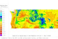
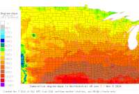
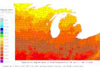
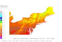
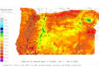
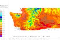
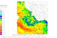
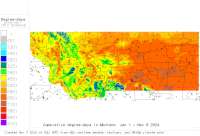
This website combines US weather and climate data (36,000+ locations) with numerous models to support a wide range of agricultural decision making needs. We currently serve over 145 degree-day (DD) models, DD maps, 22 hourly weather driven models, 12 mobile-friendly plant disease infection risk models, and 5 synoptic plant disease alert maps for integrated pest management (IPM), invasive species, biological control, and other uses for the full USA. See a more complete project description here. Our primary Degree-Day (DD) Model & Calculator Interfaces (see Shortcut Links tab for others):
We are actively collaborating and partnering with Fox Weather, LLC and the National Weather Service for forecasts, with the OSU PRISM Climate group for climate data, with the W. Region IPM Center, the USA National Phenology Network, and with numerous state and private IPM decision support programs and entities. Funding has been provided by numerous USDA NIFA grants (including IPM, Biosecurity, and SARE), USDA PPQ, RMA and ipmPIPE grants, NPDN grants, WR-IPM Center and Oregon Statewide IPM funds, and local and regional commodity grants.
Map Index
to plant disease risk
and degree-day models

Degree-Day (DD) Model & Calculator Interfaces: (we have various ways to run our list of DD models+calculator)
1. Oregon: Hood River & The Dalles, Medford, Milton- Freewater, AgriMet, CROPTIME vegetable scheduling homepage 2. Washington: AgriMet 3. Idaho: AgriMet 4. Montana: AgriMet 5. California: CIMIS, PESTCAST 6. All States and Networks full index Plant Disease Infection Risk mobile-friendly "Apps" with email "Push" notifications (sign-up here) and "Synoptic" alert maps. Documented here: 1. Apple Scab: Mobile App 2. Botrytis and experimental soybean rust: Synoptic Map 3. Boxwood Blight: Mobile App, Synoptic Map, and NEW Western OR & WA Risk Mapping Tool 4. Cherry powdery mildew: Mobile App 5. Fireblight: Mobile App, Synoptic Map 6. Grape powdery mildew: Mobile App 7. Grass seed stem rust: Mobile App 8. Hop powdery mildew: Mobile App 9. Pear scab: Mobile App 10. Potato-tomato late blight: Mobile App, Synoptic Map 11. Tomcast DSV: Synoptic Map 12. Dollar spot: Mobile App 13. MelCast (Muskmelon): Mobile App 14. MelCast (Watermelon): Mobile App Other special Models and Web Pages 1. Spotted Wing Drosophila ipmPIPE Page 2. Soil Solarization of Phytophthora spp. for nursery beds 3. Swiss needle cast 2008 - working once again 4. Medford Oregon Drift Reduction Tools - includes stream distance calculation 5. Northwest Degree-Day Info DD accumulations year-to-date for selected locations |
2. DDRP (D)egree-(D)ays, establishment (R)isk, and (P)est event maps
home page Currently hosting 16 invasive species.
3. New EAB (emerald ash borer) in Oregon home page and interactive Grasslinks interface.
4. New DDRP for weed biocontrol (custom degree-day maps) for control of Japanese knotweed, purple loosestrife, and tamarisk.
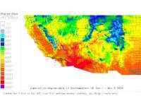
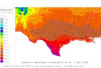
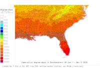
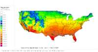
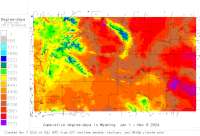
5. Custom degree-day mapmaker for 48 US states - use your own settings (NOTE: now back online starting Aug 6 2024):
A. GRASS Platform (maps up to yesterday; grids, GRASSLinks interface)
B. R Platform (maps w/forecast to end-of-year; PNG & grids only)
